- Tel Sheva redirects here. For the UNESCO World Heritage Site see Tel Be'er Sheva
| Tel as-Sabi | |
 Tel as-Sabi |
|
| District | South |
| Government | Local council |
| Hebrew | תֵּל שֶׁבַע |
| Arabic | تل السبع |
| Population | 13,000 (2005) |
| Area | 5000 dunams (5.0 km2; 1.9 sq mi) |
| Founded in | 1968 |
| Coordinates | 31°14′48.12″N 34°51′21.96″E / 31.2467°N 34.8561°ECoordinates: 31°14′48.12″N 34°51′21.96″E / 31.2467°N 34.8561°E |
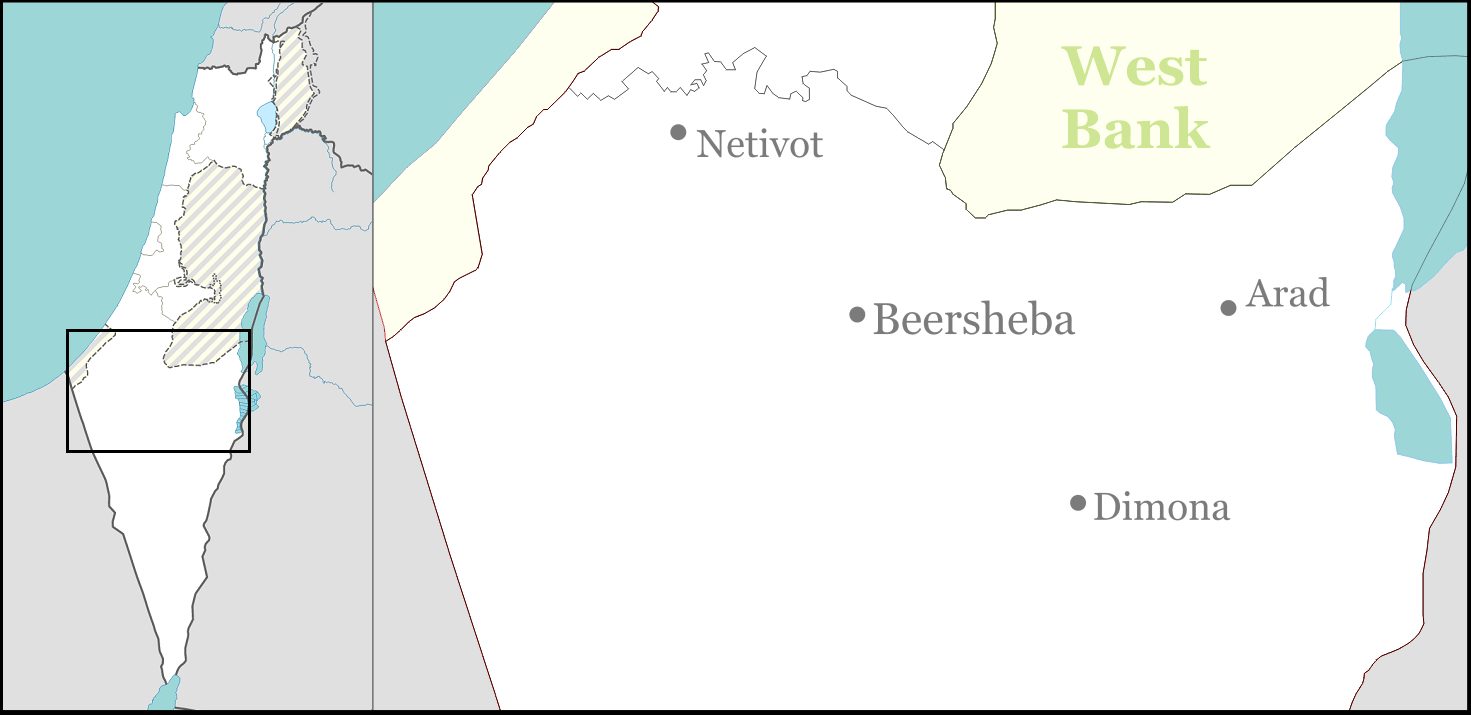
Tel as-Sabi or Tel Sheva (Arabic: تل السبع, Hebrew: תֵּל שֶׁבַע) is a Bedouin town (local council) in the Southern District of Israel, bordering Be'er Sheva.
According to the Israel Central Bureau of Statistics (CBS), the population of Tel as-Sabi was 13,000 in December 2005. Tel as-Sabi's jurisdiction is 5,000 dunams (5 km²). As of 2000, the town has been ranked lowest (1 out of 10) in socio-economic standing, with an average income of 3,237 shekels to the national average's of 6,835. Only 43% of grade twelve students are eligible to graduate from high school.
Tel as-Sabi was founded in 1968 as part of a government project to settle Bedouins in permanent settlements and became a local council in 1984.
See also[]
- List of Arab localities in Israel
- Negev Bedouins
| ||||||||||||||||||||
Template:Bedouin settlements
| This geography of Israel article is a stub. You can help by expanding it. |
ar:تل السبع ca:Tel Xeva cs:Tel Ševa ru:Тель Шева