
main offices
The Bnei Shimon Regional Council (Hebrew: מועצה אזורית בני שמעון, Mo'atza Azorit Bnei Shim'on), is a regional council in the northern Negev in the south of Israel. Most of its territory lies north of Beersheba and the rest bounds Beersheba on the west and east sides as well. The eastern border of this territory straddles the Green Line.
There are 13 communities including seven kibbutzim, four moshavim, and two new rural towns. Four of the communities (three kibbutzim and one moshav) were established in the founding of the '11 points in the Negev' in 1946. The rest of the kibbutzim and moshavim were set up after the establishment of the State of Israel.
Settlements within the jurisdiction of the Bnei Shimon Regional Council[]
Kibbutzim
|
B.S. emblem Moshavim
|
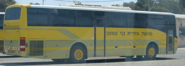
school bus
Towns
- Giv'ot Bar
- Shomria - former kibbutz that is being modified for settlement of former Gush Katif refugees.
Institutions[]
The following institutions operate within the boundaries of the Bnei Shimon Regional Council:
- Adanim, a youth village
- Duda'im, a waste treatment centre, located on Route 25 near the HaNasi Junction
- Duda'im Environmental Protection Visitors Center
- Joe Alon Center, a Bedouin cultural museum
- Mevo'ot HaNegev, the regional high school, located in Shoval
- Nitzanei HaNegev Regional Elementary School, located in Beit Kama
External links[]
- Official website (Hebrew)
| ||||||||||||||
| ||||||||||||||||||||
| ||||||||||||||||||||
| This geography of Israel article is a stub. You can help by expanding it. |
Coordinates: 31°27′N 34°46′E / 31.45°N 34.767°E
ca:Bene Ximon cs:Oblastní rada Bnej Šimon eo:Bnei Ŝimon ru:Бней-Шимон